
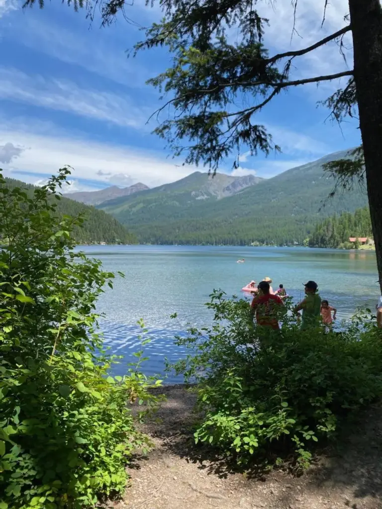
Hiking near Lincoln
Explore hiking near Lincoln, with access to the Scapegoat Wilderness and nearby sections of the Continental Divide Trail.
Hiking
Lincoln sits right at the edge of the Scapegoat Wilderness and the Continental Divide. From easy morning walks to full days on the trail, there’s something here for every hiker.
Within a short drive of the campground you can hike into the Scapegoat Wilderness, walk a section of the Continental Divide Trail, or head toward one of the area’s fire lookouts. If you’re planning several hikes, compare our RV site categories and settle in for a few nights.
Local tips from Matt and Nichole, owners of Lost Moose Meadows.
Quick facts
- Scapegoat Wilderness
- About 240,000 acres, just north of town
- Popular hike
- Heart Lake, about 10 miles round trip
- Continental Divide Trail
- Rogers, Flesher and Stemple Passes, and Lewis and Clark Pass
- Best months
- July through September
- Bring
- Bear spray
The Scapegoat Wilderness
About 240,000 acres of wilderness sit just north of Lincoln, connected to the famous Bob Marshall Wilderness. The Scapegoat was the first citizen initiated wilderness in the West, protected thanks to local people who fought to keep it wild. It’s named for Scapegoat Mountain and its massive limestone cliffs, and its high point, Red Mountain, tops out at 9,411 feet.
You’ll find alpine lakes, rugged peaks, wildflower meadows, and quiet trails where you may not see another person all day.
For each hike, “Getting there” is the drive to the trailhead and “Hiking distance” is the walk on the trail.
Close to camp
Short on time? These start right around town.
Sculpture in the Wild
Just east of townA free outdoor art park in the forest, with an easy walking trail past large sculptures. Leashed dogs are welcome.
- Trailhead
- On site parking at 1500 E Highway 200, on the east edge of Lincoln
- Getting there
- Just east of town on Highway 200, about 5 minutes from the campground
- Hiking distance
- Main loop about 0.8 mile
- Difficulty
- Easy and mostly level
- Season notes
- Open year round, dawn to dusk. Free.
Stonewall Mountain Lookout
North of townA steady climb from Sucker Creek Road to a fire lookout above the valley. On a clear day you can see the Garnet Range, the Blackfoot Valley and mountains far off in every direction. The ridge top is dry and often windy, so bring water and a layer.
Into the Scapegoat
The wilderness trailheads north of town lead to lakes, creeks and meadows. Most are long days or overnight trips.
Heart Lake
Indian Meadows TrailheadOur favorite day hike into the Scapegoat. Take Highway 200 east about 6.5 miles to Copper Creek Road and follow the signs about 8 miles to the trailhead. The lake is about 5 miles in, so plan on a full day or an overnight backpack.
Arrastra Creek
About 11 miles northwestThe trail follows a narrow creek valley through forest and open meadows into the wilderness, with wildflowers from late spring into midsummer.
- Trailhead
- Arrastra Creek Trailhead, trail 482
- Getting there
- Highway 200 west about 2.5 miles from Lincoln to Beaver Creek Road, then north about 8 miles on forest roads
- Hiking distance
- About 8 miles one way into the wilderness
- Difficulty
- Easy to moderate
- Season notes
- Two creek crossings without bridges, so take care in high water. No toilet or water at the trailhead.
Landers Fork
Indian Meadows TrailheadFrom the same trailhead as Heart Lake, this trail crosses the Landers Fork and follows it north deep into the Scapegoat. A good choice for a longer backpacking trip.
Continental Divide Trail
The Continental Divide Trail runs from Mexico to Canada. Near Lincoln it crosses Highway 200 at Rogers Pass, about 17 miles east of town, and there are several easy places to step onto it for a few miles.
Lewis and Clark Pass via Alice Creek
About 19 miles northeastOur pick for history lovers. The trail climbs through wildflower meadows to the pass where Meriwether Lewis crossed the Continental Divide on his way home in 1806, on a route tribes had used for generations. You’ll meet the Continental Divide Trail at the top.
- Trailhead
- Alice Creek Trailhead, trail 493
- Getting there
- Highway 200 east 10.2 miles, then Alice Creek Road 8.6 miles
- Hiking distance
- About 2 to 2.4 miles one way
- Difficulty
- Easy
- Season notes
- Hikers and horses only. Vault toilet, no water.
Rogers Pass
About 25 minutes eastStep onto the Continental Divide Trail right from Highway 200. Rogers Pass also holds the record for the coldest temperature ever recorded in the lower 48 states, 70 below in 1954.
Flesher Pass
About 15 miles on Highway 279Another easy place to hop on the Continental Divide Trail, on the way toward Helena.
Stemple Pass
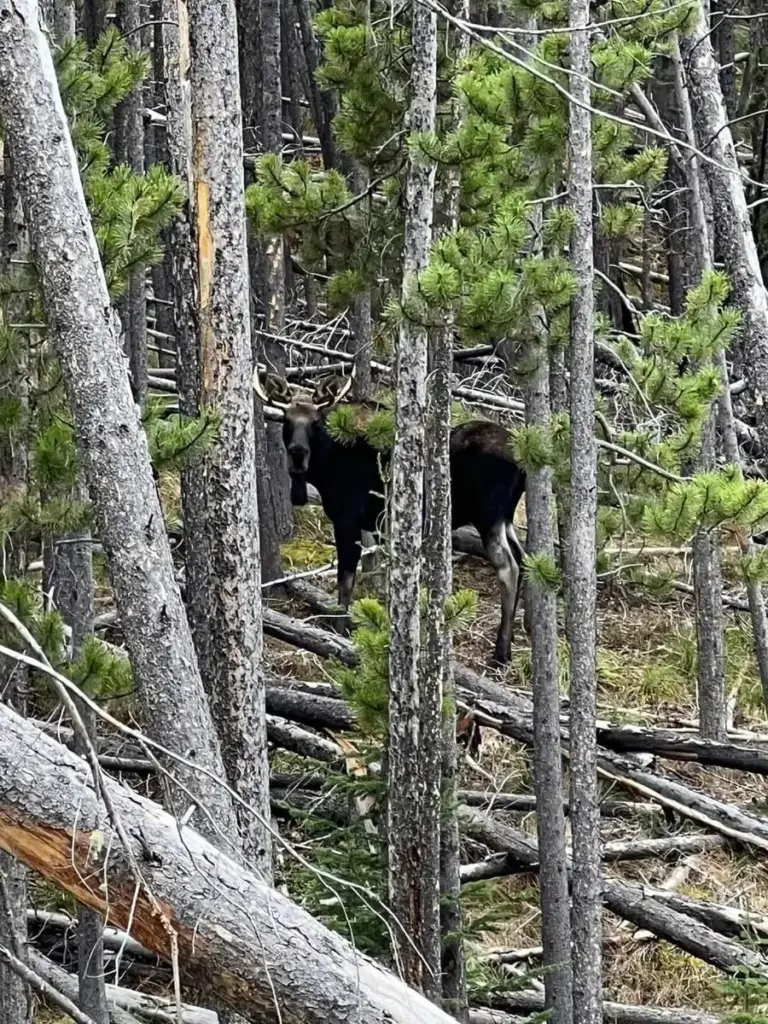
South of LincolnThe road over the pass is kept open year round, and the trailhead has restrooms and picnic tables. Trails wind through meadows and forest, with good chances to see moose, deer and elk.
Granite Butte Lookout
About 16 miles southeastThe Continental Divide Trail runs right past this historic lookout. You can drive most of the way and hike the rest.
Worth the drive
North Fork Blackfoot Falls
Near Ovando, about an hourA beautiful hike up the North Fork of the Blackfoot into the Scapegoat, past the old North Fork cabin to a waterfall in the canyon. It makes a big day or an easy overnight, and the falls are at their best during spring runoff.
- Trailhead
- North Fork Trailhead near Ovando
- Getting there
- Highway 200 west toward Ovando, then north on Dry Gulch Road and the North Fork road. Check a current map.
- Hiking distance
- About 7.8 miles each way
- Difficulty
- Moderate
- Season notes
- Scapegoat Wilderness and grizzly country, so store food properly. Parts of the area burned in 2017.
Morrell Falls
Near Seeley Lake, about an hourAn easy trail through the forest to a 90 foot waterfall. A great family hike, and it pairs well with a day in Seeley Lake.
- Trailhead
- Morrell Falls National Recreation Trail
- Getting there
- From Seeley Lake, Morrell Creek Road east about 1 mile, then Forest Road 4353 north about 5 miles
- Hiking distance
- 2.7 miles each way, 5.4 miles round trip
- Difficulty
- Easy, with a short steep climb near the falls
- Season notes
- Usually open by late spring. Toilet at the trailhead.
There are plenty more trails around Lincoln. Stop by the office and we’ll be happy to share some of our favorites, or check with the Lincoln Ranger District for current trail conditions.
When to hike
Lower trails are usually good by late May. Snow can hang on up high into June or even early July, so check conditions before heading to the high country early in the season. July through September is prime hiking season, and September brings cooler days, fewer bugs, and fall color.
Before you go
- Carry bear spray and keep it where you can reach it quickly. This is grizzly country.
- Make noise on the trail, especially near streams and in thick brush, and hike with a partner when you can.
- Stop by the Lincoln Ranger District office in town for maps and trail conditions. They also have a grizzly bear exhibit that’s worth seeing.
- Pack for changing weather. Afternoon storms can roll in fast in the mountains.
- Let someone know your plans. Cell service is limited once you leave the valley.
Keep exploring
More to see and do
Open April 15 to October 15
Trailheads, then a hot shower.
Book your base camp for the Scapegoat Wilderness.